
So, the other day I noted in my post on the devastation in North Carolina that some fringe types were asserting that the federal government controls the weather and that they used this technology to drive Helene through predominantly Republican counties.
Now Marjorie Taylor Greene (R-GA), a member of the US House of Representatives, is getting into the act:

So, yet again, she is mainstreaming fringe notions.
She also posted the same map that noted in a tweet from the conspiracist blaming the path of the hurricane on federal weather control, but she did not include an accusation with that tweet:
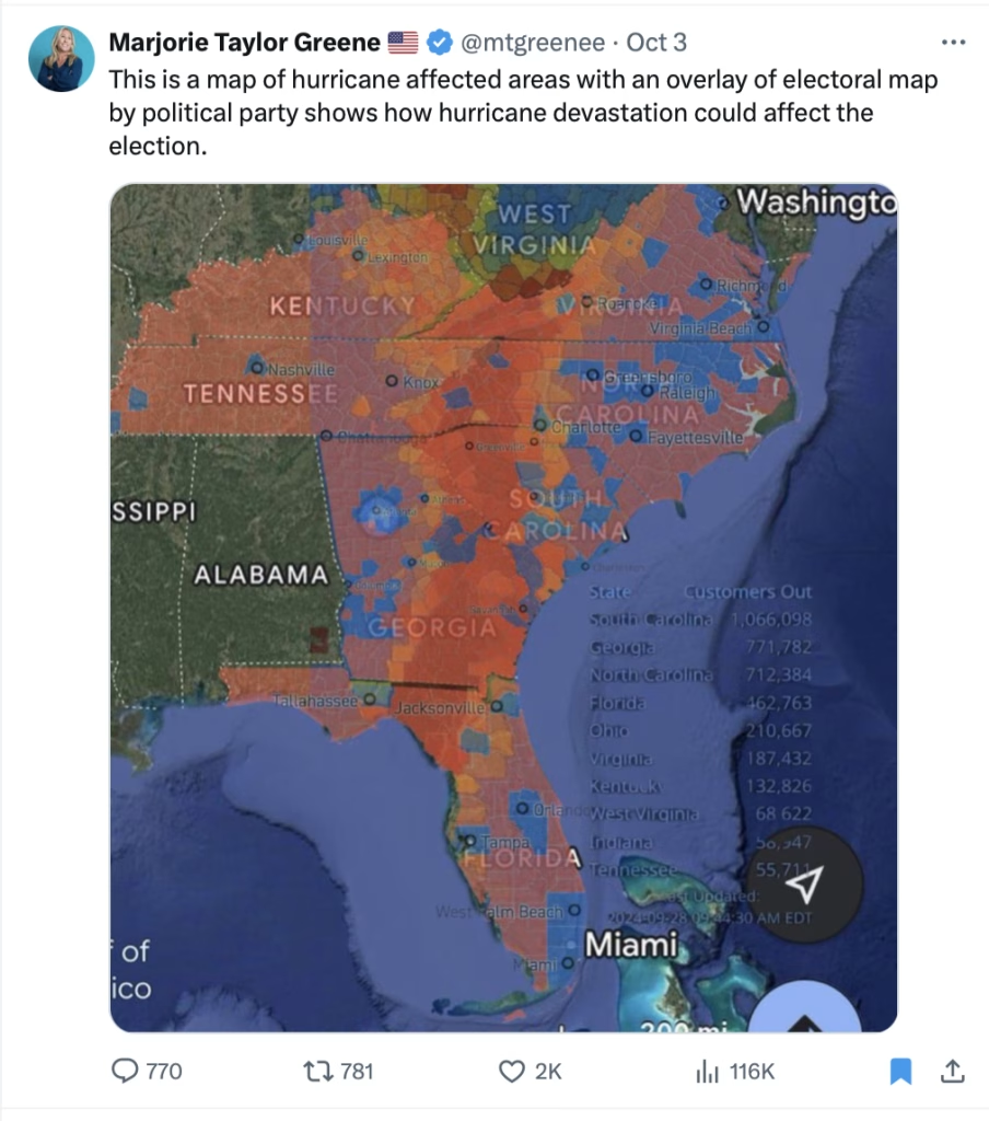
Given the devastation and displacement from the storm, I do think it is possible that the election will be affected. Exactly how will have to be determined by analyzing the results. We will be able to determine if voting in specific precincts is comparably different or not.
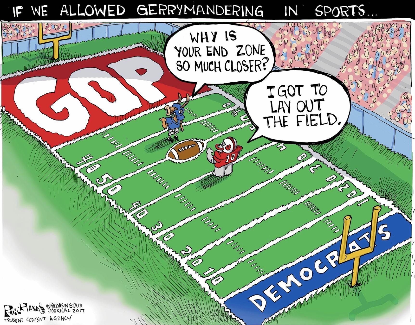
I am compelled to note that almost any map of counties based on voting will show more red than blue because there is a direct correlation between population density and Democratic vote concentration and a likewise correlation between more sparsely populated areas and Republican voting. As such, it is quite likely that a widespread event would hit more red-hued locales. But the good news is, setting aside any partisan considerations, is that because the Atlanta metro area was hit by the western side of the storm and not the eastern side fewer human beings were negatively impacted. On a human level, that is a good thing! MTG can also be glad that her district, which is in the northwestern area of the state, was spared a direct hit.
Note: for anyone who misses the reference in the post’s title, Greene blamed wildfires in California on Jewish space lasers.